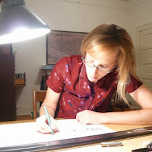
Here is the rough draft:
 No photo can capture the simultaneous feeling of enclosure and expansiveness within a Savannah square. I'm recording these notions in drawing the "streetscape-in-the-round" of a square, similar to the facades by block drawings I am working on, as the architectural street wall that wraps the perimeter of the square. Within the square - a forest punctuated by monument(s) and crossed by brick walks that continue the sidewalk from the surrounding blocks. The Square forms the locus of a Ward, a neat unit of neighborhood measurement comprised of the blocks on all sides adjacent to the Square. A map from 1770 shows the first 6 Wards that set the pattern for the City's urban growth until the mid-1800s. I was pleased to find the measurements of the street rights-of-way recorded, in the expressive cursive script that pervade this map by


No comments:
Post a Comment